
Vyšný Komárnik
Pamätník 1. čs. armádneho zboru s vojnovým cintorínom – Dukla
District Svidník · Prešovský kraj
Cemetery overview
Find a section, grave or person
Filters use only publicly available graves and data. Private Memorials are not included in the results.
Showing 0 of 1 public graves; the result contains 0 public Memorials.
Historical evidence
Burials and historical data
Historical counts come from verified sources. They may differ from the number of currently digitized graves or public profiles.
Areas and sections
People in the cemetery
Public memories and historical register
A Memorial is a public profile created in CINTIR. A historical person is a separate record supported by a verified source and may not have a Memorial.
No historically documented person was found for this selection.
Living memories
Latest public activity
Candles and flowers are shown anonymously. Memory text appears only if it was approved on a public Memorial.
There is no new activity yet on public profiles in this cemetery.
For family
Create a memorial profile
Add a story, photos, family links and later a QR link for the headstone.
Create MemorialFor volunteers
Help map graves
Field mapping records GPS, a photo and inscription data. The record is published only according to verification rules.
Open mappingSite plan
Find a grave by number
The position on the plan is relative to the site plan; it is not GPS.
Pamätník 1. čs. armádneho zboru s vojnovým cintorínom – Dukla — schematický plán0 graves positioned on the planOpen plan
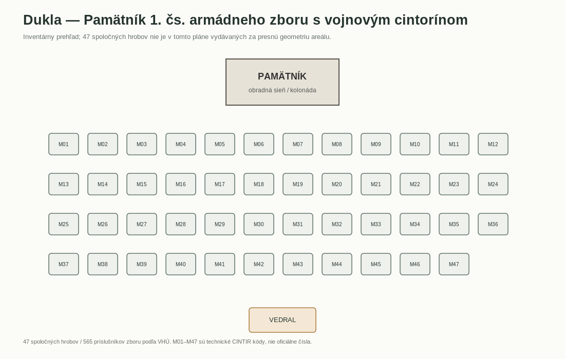
Graficky prepracovaný CINTIR nákres odvodený z verejných historických údajov; nejde o priamu kópiu pôvodného dokumentu.. Graves without a public layer cannot be opened from the plan.
Map
Grave locations with GPS
The map respects the current filter and shows 0 public grave locations.
Map data © OpenStreetMap contributors. External tiles load only after you click.
Graves
Publicly available grave locations
Results are narrowed by the active filters above.
No match
No public grave location matches this filter.
Try changing the section, grave number, name or display type.